


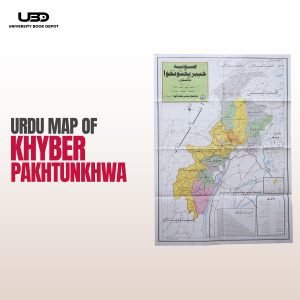
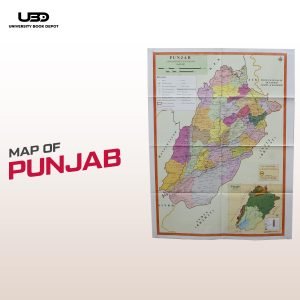
Description
This Political Map of Pakistan provides a detailed and clear depiction of the country’s provincial boundaries, major cities, and administrative divisions. Measuring 30×40 inches, it is printed in HD quality on durable matte paper, ensuring vibrant colors and lasting use. Perfect for tour guides, public spaces, and travelers, this map is an essential tool for understanding Pakistan’s political geography.

Reviews
There are no reviews yet.