


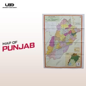
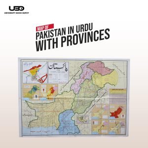
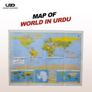
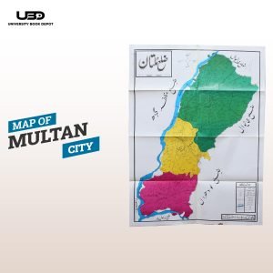
Description
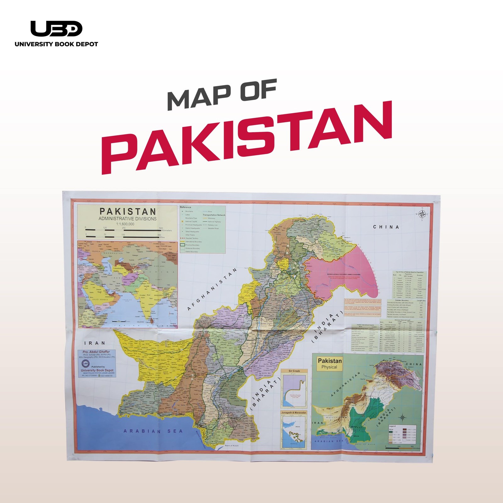
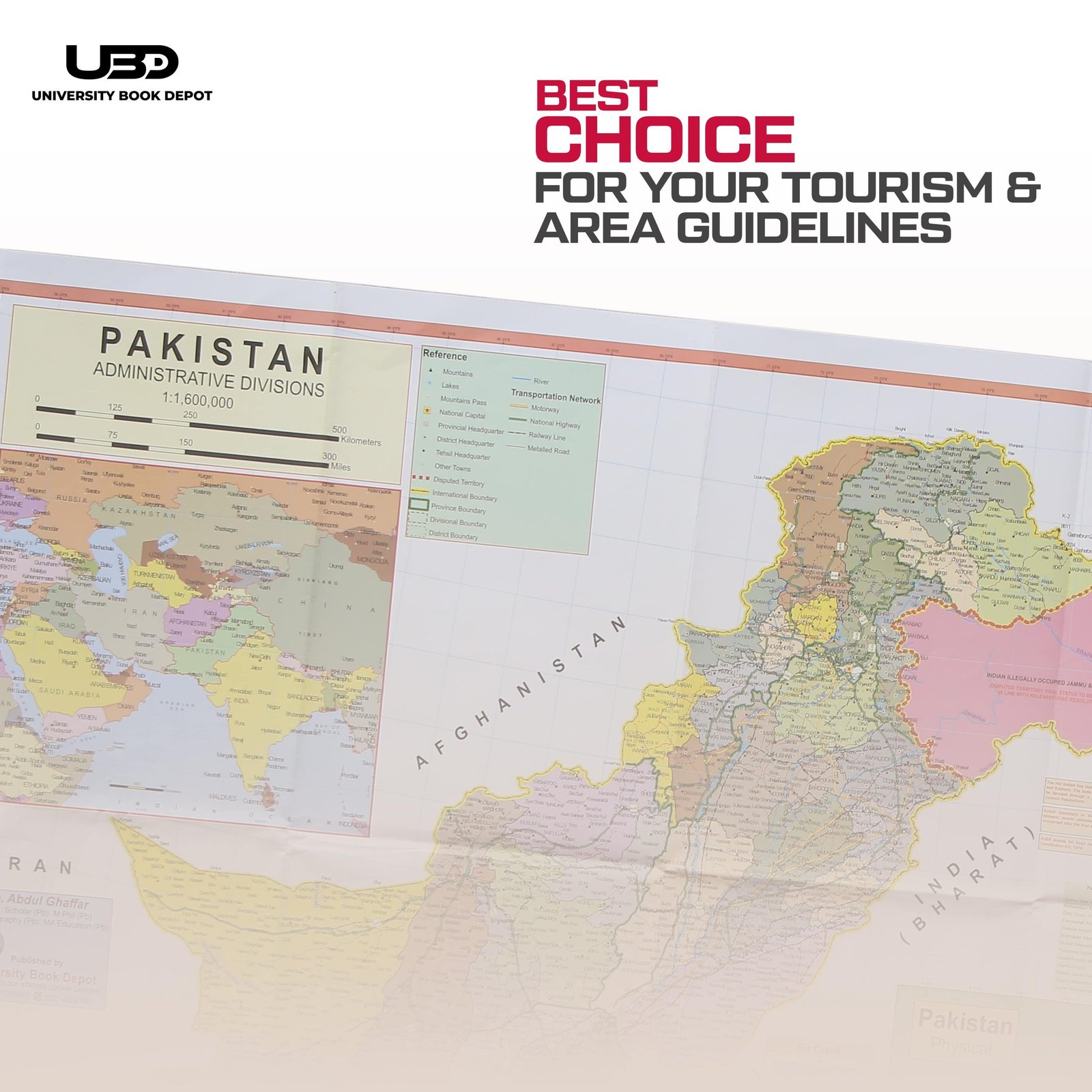
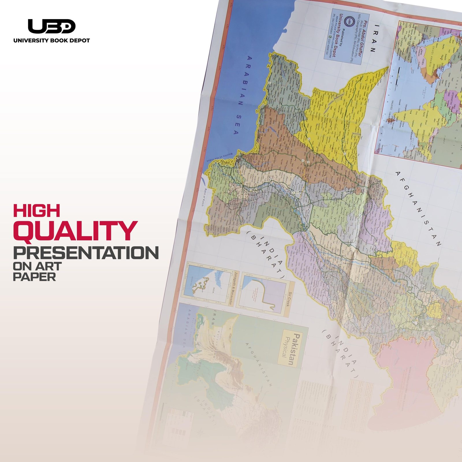
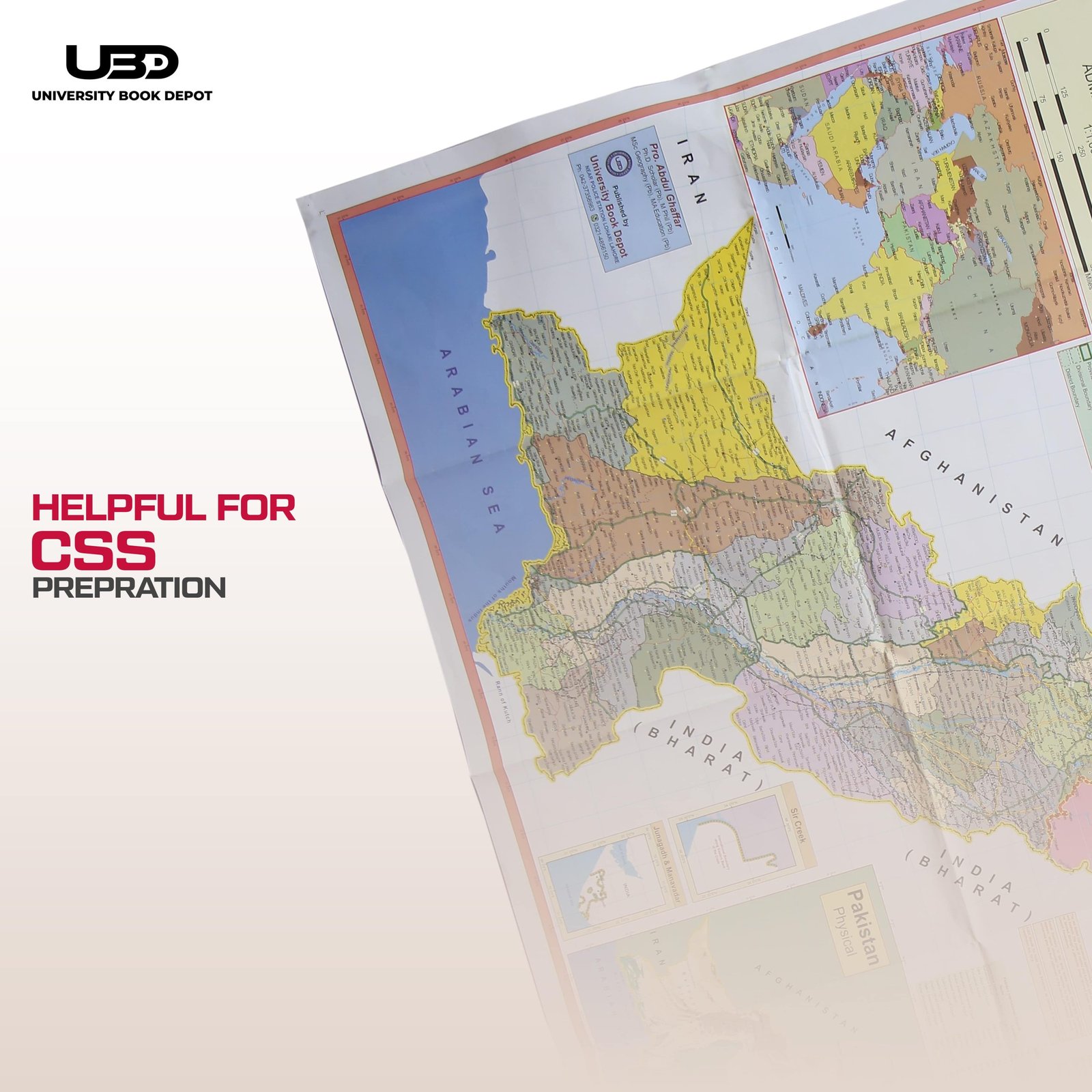
This detailed 30×40 inch map of Pakistan is printed on high-quality art paper, making it a visually appealing and educational addition to any space. The map highlights all provinces, major cities, airports, railway lines, and highways, offering a clear and accurate representation of Pakistan’s geography and infrastructure. Ideal for classrooms, offices, or home study areas, this map serves as a valuable resource for learning and reference. Its crisp design and comprehensive details make it both informative and aesthetically pleasing.
Reviews
There are no reviews yet.